4/21/11
Gib,
Please send updates to these cc'd em's. I don't know the status of the boat communications.
Sent from my iPhone / Please excuse brevity and errors.
4/21/11
Please send updates to these cc'd em's. I don't know the status of the boat communications.
Sent from my iPhone / Please excuse brevity and errors.
4/21/11
I talked to Dave last night, they will set sail today (Thursday) sometime. They were having a connection problem and he wasn't sure if they would be able to communicate Facebook.
If that is the case, information will be limited and hopefully we will get updates from the owner, Gib.
Tina
4/21/11
Started engine. 8am departure from Kaneohe.
Sent from my iPhone / Please excuse brevity and errors.
Sent from my iPhone / Please excuse brevity and errors.
4/21/11
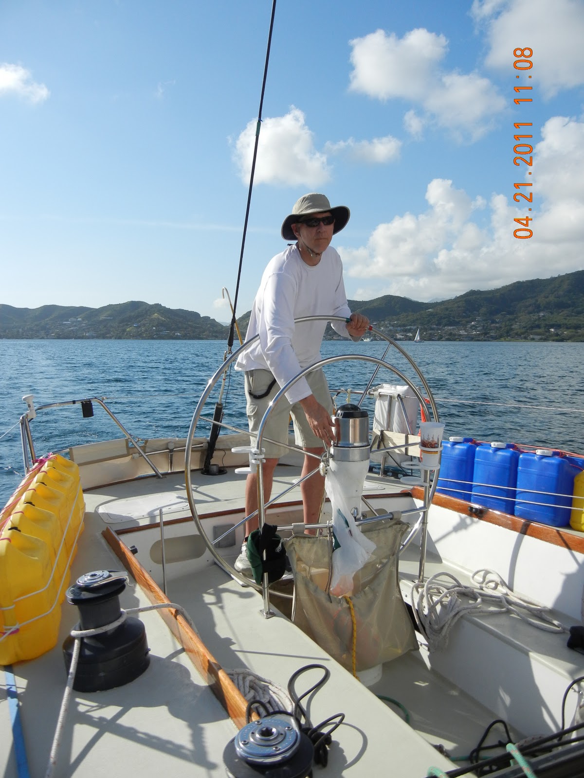
We slept on the boat last night because in a sense, we had to. The Ohana was rented last night and we were supposed to have departed on 4/20 so I guess one day late is not too bad. We had everything stowed and it made sense to get on the road. The yellow diesel fuel cans and the blue freshwater cans were secured to the lifelines, the sails were ready, all the gear was put away....


Bill started the engine right at 8 am and that put us all on notice that it was time to leave. We four were the only people there and it seemed out of order to not have a group gathered on the dock waving us off.
We all know the drill and quickly untied from the dock and were on our way.
 | |||||||||||||||||
| Kaneoh'e Bay Yacht Club. |
There are really only two ways to exit this large bay to gain access to the open ocean. The closest pass to us through the reef is well marked but can be shallow for some deep-draft vessels. Sampan Channel is nothing but sand and has no rocks or coral but limited to vessels that draft less than 7'-8' depending on the tide. We decided to take the longer route to the deeper Main Ship Channel. Although narrow and reliant on following a land-based range marker system it was still the safer way to go.
I digress, below is a 'release' for a trip I planned to take back in 2004. Even though the names are different the concept applies. It's good to have something in writing:
Dear Parents,
In December of 2003, your child has an opportunity to participate in an adventure of a lifetime on board Learjet, a 56ft. sailboat, with Glenn Andert. They expect to be gone for an extended period of time. Bag lunches are not necessary, although snacks are appreciated. Sun screen, hats, sunglasses, bug repellent, first aid ointment, chapstick, and bottled water are needed. Passports and a large supply of American dollars required.
My child, , has my permission to sail the South Pacific Ocean and explore the South Pacific Islands as crew on board Learjet with Glenn Andert with the following conditions:
- He must be returned home in the same condition as when he left on this “little adventure”.
- He should come back smarter, not dumber, the point of this “little adventure” is to learn something, isn’t it?
- As the captain, you are expected to remind him to call his mother when you see a phone, coconuts with string, etc… yes, email is acceptable.
Parents Signature: Date: .

 | ||
| Our departure had us leaving the island in light winds and favorable conditions. |


The yellow line is our track after departing from the slip. The S-turn was probably when we raised the main. The hard right turn tells a different story.

A few days prior, Gib had shown Bill the inside route shortcut from the slip to the Mainship Channel that went between the land masses at the left in the picture and all the hidden shallow areas. Locals know this route; tourists don't.
On most if not all departures from coral laced bays I always get on the bow and look forward and down. A couple miles into the transit towards the shortcut I noticed that the water clarity had been getting clearer due in part to the water getting shallower. Mark was up front at this time and I made the comment that we might go aground. Tensions rose and we yelled back to Bill to make a hard right, immediately.... According to the picture we were in fact in the shallow area over a reef.
On most if not all departures from coral laced bays I always get on the bow and look forward and down. A couple miles into the transit towards the shortcut I noticed that the water clarity had been getting clearer due in part to the water getting shallower. Mark was up front at this time and I made the comment that we might go aground. Tensions rose and we yelled back to Bill to make a hard right, immediately.... According to the picture we were in fact in the shallow area over a reef.

The inside route is not well-marked and should be for locals only with local knowledge. We managed to get back within the channel markers that would eventually guide us to the pass through the reef. I had no idea that Kaneoh'e Bay was littered with coral reefs and could potentially be a difficult departure. In pre-departure planning I overlooked taking advantage of satellite pictures to get more acquainted with the bay. The typical study involves looking at charts and then the all too complacent reliance on a hand-held GPS. It's a fact that even though you have several crew all with experience major problems still arise due to lack of attention to detail. In our defense, we all had plenty to do preparing the boat and convincing ourselves the boat was ready that we just figured how hard could it be. We all just wanted to get offshore and underway. That is precisely the attitude which can cause something to be overlooked.
Once back on the right path we spotted several smaller boats heading to the shallow-water pass as well as several others transiting near us. We felt much better being in the right place. It would have been a helluva omen to run aground before even getting away from the shore.
Once back on the right path we spotted several smaller boats heading to the shallow-water pass as well as several others transiting near us. We felt much better being in the right place. It would have been a helluva omen to run aground before even getting away from the shore.


Oranges (YouTube link)

 |
| 85 degrees down below. |
 |
| 8am 4/21/11 to 12am 4/22/11 (97nm) |
No comments:
Post a Comment